
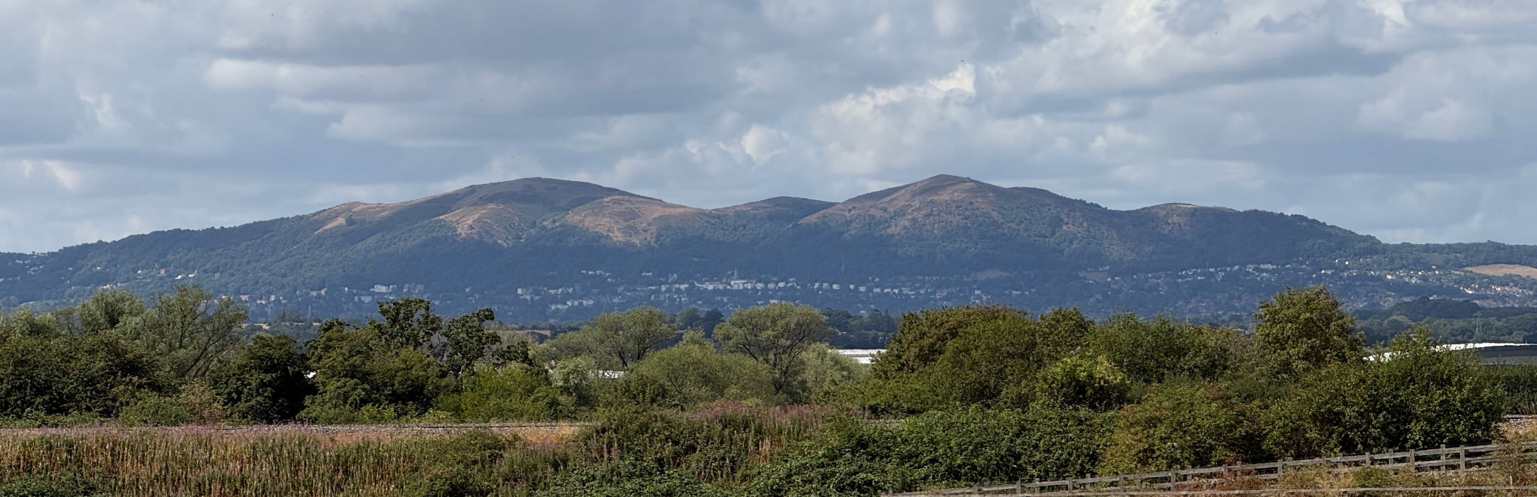
Jump to G/WB-009 Worcestershire Beacon Details of Activation and Logbook.
Worcestershire Beacon
Also known as Worcester Beacon, Worcestershire Beacon is the highest point in the Malvern Hills and in the county of Worcestershire itself. The hills are located along the county’s border with the adjacent county of Herefordshire.Whilst not a national park, the hills are designated as anArea of Outstanding Natural Beauty and are under the custodianship of the Malvern Hills Conservators through several acts of parliament.
At 425M (1,394’) high, it is said that, there is no higher land east of Worcestershire Beacon until you hit the Ural Mountains in Russia.
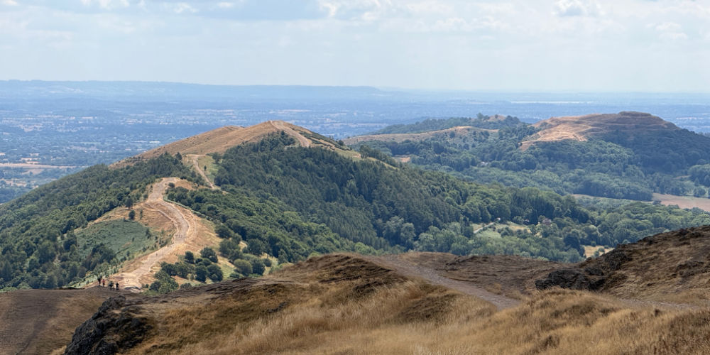

At the foot of ‘the beacon’, on its steep eastern flank, sits the historic town of Great Malvern. Rich in history, the spa town is known these days for being the home to Qinetic (a world leader in the development of advanced defence technology) and Morgan Cars (manufacturer of traditional coach built masterpieces blended with the latest technology).
Visitors to the summit are afforded 360 degrees of magnificent views across thirteen counties. To the east lie the Cotswolds, to the north, Birmingham and beyond. To the west are the stunning mountains of mid-Wales and the hills of the Welsh Borders and to the south, the Severn Valley as it winds its way down towards Bristol.
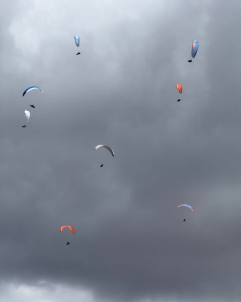
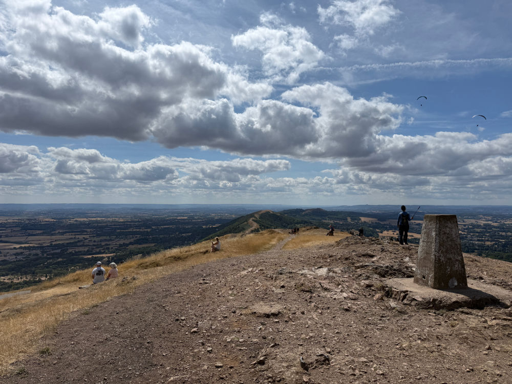
Atop the summit is a trig point and Toposcope to help you identify what you can see all around. The latter was installed to celebrate the Diamond Jubilee of Queen Victoria. As per the name, Worcestershire Beacon, has been used as a signal station to warn of major events in history. It formed part of the chain of stations that were lit during the intended invasion of the Spanish Armada. It’s also been used to celebrate special events and continues to be used in this vain today.
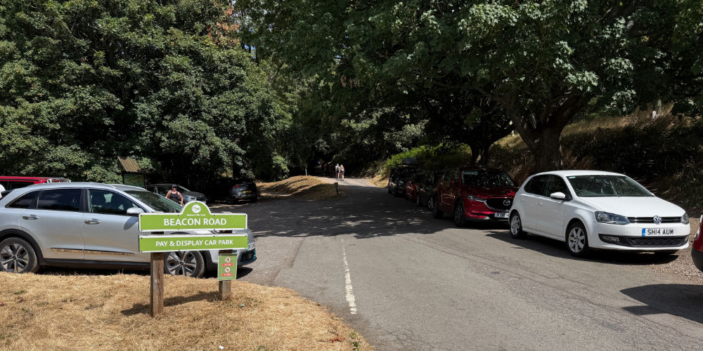
There being three ways to reach the summit, of which two are very steep, I took the more leisurely stroll along the crest of the ridge from the car park near the Wyche Cutting, a mile or so to the south of Malvern town centre. The car park has limited spaces so you need to be here early – it’s a very popular place. There is a flat charge of £6 which appears steeper than the climb up the beacon from here, but this does cover you for the whole day. And do prepare to stay longer on this summer than most, especially if you’re using a SOTA Beam antenna – with thirteen counties surrounding you there are lots of operators who will want to work you and lots of Summit to Summit contacts to be made on the right day.
Details of G/WB-009 activation
Callsign used
G7LFC
Activation Date
1st August, 2026
Weather conditions
Mainly sunshine and some clouds, 23 degrees C, gentle breeze.
Equipment used
Icom ID-51 handheld transceiver, spare Icom BP-272 batteries, DX Commander telescopic mast, SMA/BNC adaptor, SOTA Beams 2m/70cm Yagi antenna, 16lb mallet, and Fjallraven Singi Hip Pack 10.
Software used
SOTA Goat app and HAMRS Pro logbook on my iPad Air M1.
Bands, modes and power used
2m using 5w of FM.
Station setup
I initially positioned myself quite close to the trig point at first, thinking that the activation would be a doddle using just the rubber duck antenna on the handheld transceiver. However, when this proved not to be the case I decided to move a little further away and deploy the DX Commander extending mast, atop which sat my ever faithful 2m SOTA Beam. I sat on the ground at the bottom with my handheld attached directly to the coaxial feeder.
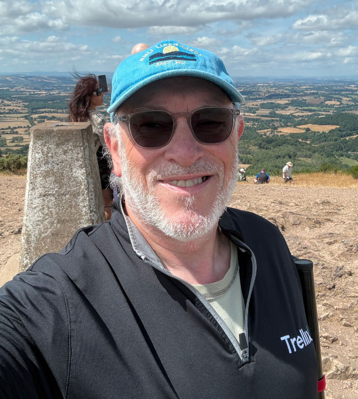
This is a very popular hill and, on a day like today, the path is akin to the M6 and folks, quite rightly, love to take a photo of themselves in front of the trig point – as did I. Being slightly lower and off the path on a short, but steep, bit of ground ensured nobody was going to come into contact with guy ropes and invoke my insurance cover. The mast height still ensured that I got out.
The ground has suffered as a result of the multiple heatwaves we have endured in England this year. Luckily the Fjallraven hip pack has the means to carry a mallet and this was definitely required to secure the ground pegs for the guy ropes. Being the highest point for miles around ensured that my target audience was big enough to guarantee the activation would be a success. Sadly, a contact to the Ural Mountains eluded me.
How did the activation go?
The first five, or six, calls on 145.500MHz failed to raise a response from anyone. However, once the SOTA Beam was pushed into service, we were cooking on gas. With the beam pointing north, contacts came in thick and fast.
When I activate SOTA summits on 2M FM, I rarely fly through the contacts, exchanging details and quickly moving on. I do like to have a few overs with SOTA chasers, if they are willing to chat. As can be seen from the logbook (below), eleven contacts in just under half an hour indicates lots of chatting going on when you consider there were no gaps of silence between contacts.
As could be expected from the location, and deployment of the beam antenna, I successfully worked several stations just short of, in, and just north of Birmingham. I also worked several stations that I normally always work when I’m down in this neck of the woods – it was good make contact with them again. I was reminded by one station that it had been more than three years since I’d activated this summit – I don’t think I activated many, if any, summits in 2024 as my long-suffering wife, Ali (M6COV), broke her ankle in the May. I kinda got out of the habit of activating summits after that until I got out and activated GW/NW-067 Moel-y-Gest earlier in July.
So, with eleven activations in the log, and nobody responding to my last CQ call, I decided to call it a day and head off to my next summit, G/CE-003 Bredon Hill.
Notable contacts
I was very pleased to work a station over in Leicestershire. He was located between Leicester and Melton Mowbray and we exchanged very good signal reports. This was immensely satisfying given that I was working him off the side of them beam.
Pros and Cons
The route up to the summit from the car park at Wyche Cutting, is definitely the easiest way to the top. Even as a 17 stone, overweight asthmatic, the going is easy. I definitely wouldn’t like to perform ascent using one of the other routes. Once you get there, though, do take time to absorb the views, if there are any, they are spectacular.
I have always found this hill to be very windy on top on previous activations, so do take a jacket you put on when you reach the summit. You do cool down very quickly after generating excess heat during the walk up. However, today this was not the case as the wind was minimal. However, it’s always best to be prepared.
There being two large cities within line of sight, and lots of smaller towns in the Severn Valley, the summit should be relatively east to activate. But, as I found on this activation, you can’t guarantee a thing (even on a Saturday), so take a backup plan which includes some form of external antenna is you’re going to be using 2M FM.
Observations and lessons learned
G/WB-009 Worcestershire Beacon is an easy summit to access summit by those with good mobility – just remember a spare jacket and a plan B antenna-wise.
G/WB-009 Logbook
| Callsign | S2S Ref | Date | Time | Band | Mode | RST Tx | RST Rx | Power |
|---|---|---|---|---|---|---|---|---|
| G4WUH | 20260801 | 115314 | 2m | FM | 59 | 59 | 5 | |
| G0MKW | 20260801 | 115443 | 2m | FM | 59 | 59 | 5 | |
| G0LGS | 20260801 | 115700 | 2m | FM | 59 | 59 | 5 | |
| M8MDJ | 20260801 | 115923 | 2m | FM | 59 | 59 | 5 | |
| MW9KRS | GW/MW-001 | 20260801 | 120128 | 2m | FM | 57 | 55 | 5 |
| G4TCU | G/WB-004 | 20260801 | 120341 | 2m | FM | 59 | 59 | 5 |
| G0CXO | 20260801 | 120642 | 2m | FM | 59 | 59 | 5 | |
| G7OOT | 20260801 | 120918 | 2m | FM | 58 | 58 | 5 | |
| M6NSV | 20260801 | 121240 | 2m | FM | 58 | 57 | 5 | |
| G4HQB | 20260801 | 121443 | 2m | FM | 59 | 59 | 5 | |
| M0OVW | 20260801 | 121846 | 2m | FM | 59 | 59 | 5 |