

Jump to G/CE-003 Bredon Hill Details of Activation and Logbook.
Bredon Hill
The first thing to be aware of regarding Bredon Hill is its pronunciation – call it ‘Breadon’ Hill and you will encounter the wrath of the local radio amateurs. Call it ‘Breedon’ Hill and you’ll be their best friend forever.
Joking aside, Bredon Hill lies South East of Worcestershire Beacon and North of Cheltenham and is 299M (981’) tall. The summit is large and relatively flat and is very popular with walkers being, as it is, situated on the Wychavon Way.
Even an untrained eye, like mine, can determine that the summit has a very long history. The raised earthworks date back to before the first century AD and formed part of the Iron Age fort that was located there. The summit is large and relatively flat, so this must have been quite a site. Sadly, sat on the embankment is a really unsightly stone tower, housing lots of mobile communications Antennae. This dates back the mid-eighteenth century and was erected as a summer house, constructed from local Cotswold stone, by a local squire.
There is also evidence that the site was occupied by the Romans band in 2011 Worcestershire’s largest-ever hoard of Roman artefacts, including around 4,000 coins, featuring 16 different emperors, was announced. Furthermore, on the north side of the hill is located a medieval castle that once belonged to the Earls of Warwick.
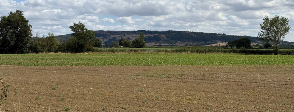
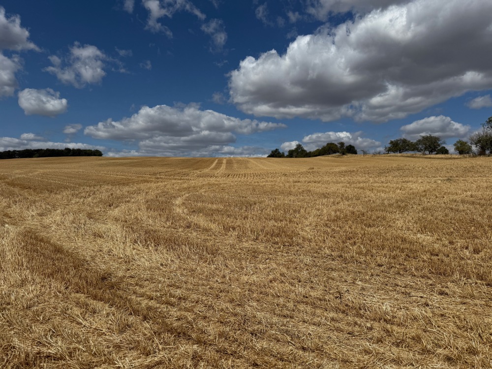
Bredon Hill lies within the Cotswolds Area of Outstanding Natural Beauty and during my ascent I was keenly aware of how ‘golden’ the area is. The crops were golden (it’s mainly arable farming of crops like wheat, barley and oats around here), the rock is golden coloured Costswold stone, and the soil is of a golden colour too.

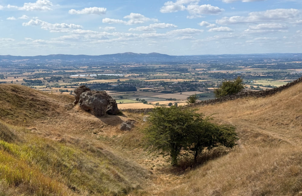
As you walk around the western edge of the summit you come across a large depression which probably occurred as a result of the collapse of a cavern beneath it. In the hollow you will find the ‘Elephant Stone’.
Details of G/CE-003 activation
Callsign used
G7LFC
Activation Date
1st August, 2026
Weather conditions
Mainly sunshine and some clouds, 24 degrees C, gentle breeze.
Equipment used
Icom ID-51 handheld transceiver, spare Icom BP-272 batteries, DX Commander telescopic mast, SMA/BNC adaptor, SOTA Beams 2m/70cm Yagi antenna, 16lb mallet, and Fjallraven Singi Hip Pack 10.
Software used
SOTA Goat app and HAMRS Pro logbook on my iPad Air M1.
Bands, modes and power used
2m using 5w of FM.
Station setup
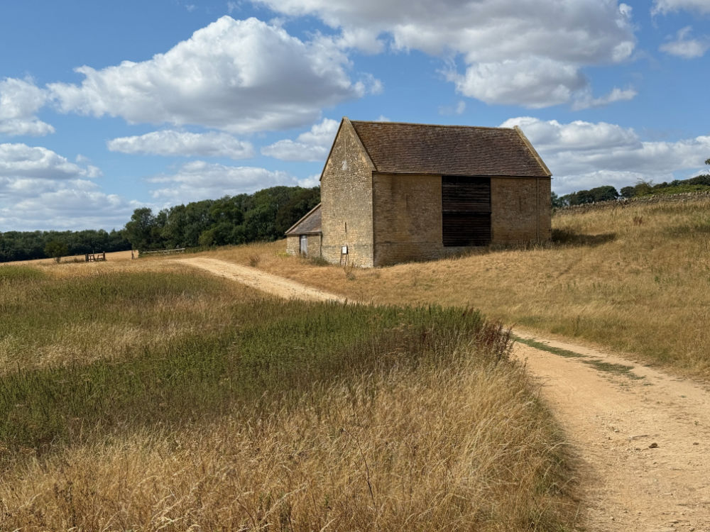
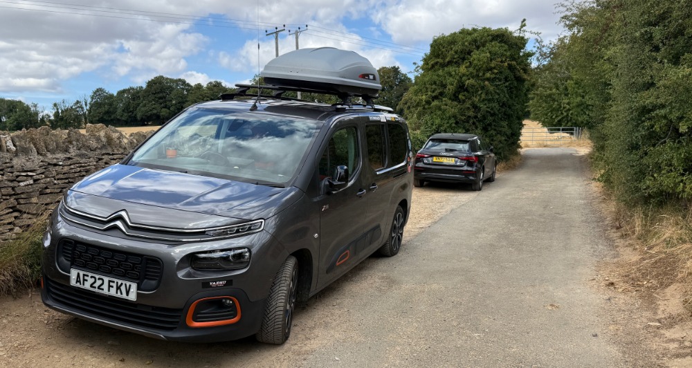
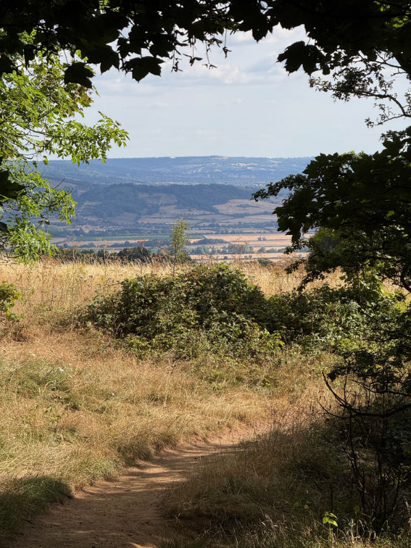
Having successfully activated G/WB-009 Worcestershire Beacon a couple of hours earlier, the van was parked at the end of a narrow twist road that ends just north of Bell’s Castle in the village of Kemerton. At the end there’s a small area for vehicles to turn around and space for about three cars to park in. The path continues at the end of the road up passed some disused quarries before turning left towards Sundial Farm. The only building left standing is a really attractive Grade II listed building. The path continues past this, through a field, to a wooded path that you turn right on to and which heads up towards the summit. Continue along the path, past the tower on your right, towards a large stone Toposcope showing you the sites to be seen from the summit.
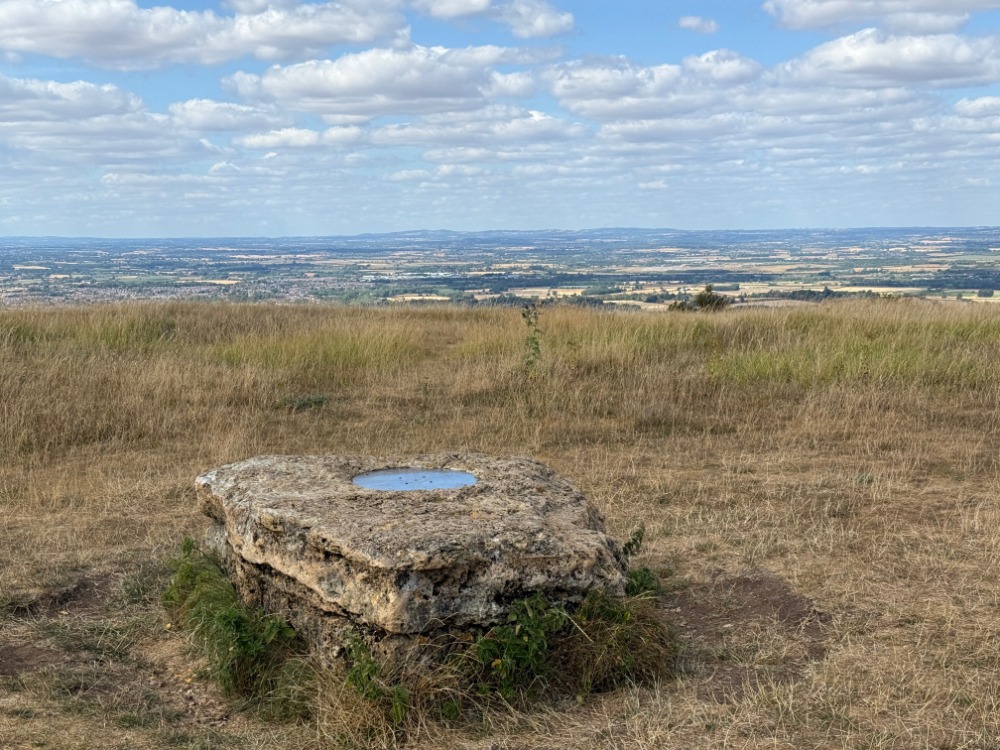
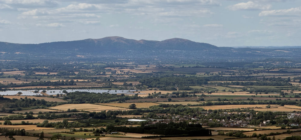
Here I set up the SOTA Beam antenna and pointed it north, towards Birmingham. There were quite a few people around but I guess they were mostly locals as none of them seemed interested in the Toposcope thankfully. Once more, the mallet probably saved the day as the ground was so hard.
How did the activation go?
The first five, or six, calls on 145.500MHz failed to raise a response from anyone. However, once the SOTA Beam was pushed into service, we were cooking on gas. With the beam pointing north, contacts came in thick and fast.
Using the toposcope as a seat I called CQ and started working chasers. As is my operating preference on SOTA summits, I had a proper QSO, rather than just exchanging signal reports and moving on – after all, we don’t operate voice modes on 2M FM for a quick exchange, we’re all there to communicate and make new friends. It took about fifteen minutes to qualify the summit with four contacts – tea-time is never a good time to call CQ anywhere, so I am very grateful for the stations that came back to my call.
As I was packing away a group of young men approached the Toposcope. I’m not sure whether they were generally interested in what they could see and which direction to look, or whether they we more intrigued by this old guy standing on top of a hill with a fishing pole in his hand. The conversation was of a jovial nature and they were still non-the-wiser as to what I was doing as they departed the summer.
By this time I was getting rather hungry, so I was pleased to find a little village shop somewhere between Bredon Hill and Cleeve Hill. Here I obtained a truly superb Steak and Ale pie produced by Tilley’s of Coombe Hill – I have never seen such a meaty filling before in such a pie.
After the nourishment it was off to the third summit of the day, G/CE-001 Cleeve Hill.
Pros and Cons
The route I took up to the summit was a very easy ascent, about 1.8 miles in length and took me about fifty minutes. However, that did include stopping to admire the views across the Severn Valley and back to my first summit of the day, Worcestershire Beacon. More than a few photographs were gathered on the way too.
There is plenty of space on the broad summit, so if there are lots of people around it easy to keep out of their way. I would recommend an external antenna on this summit, even if it’s just a vertical as I have struggled from here before with just a rubber duck.
Observations and lessons learned
This is an easy summit to access and a good one to activate in a single day alongside Worcestershire Beacon and Cleeve Hill if you have your own transport.
G/CE-003 Logbook
| Callsign | Date | Time | Band | Mode | RST Tx | RST Rx | Power |
|---|---|---|---|---|---|---|---|
| M0KZO | 20260801 | 150623 | 2m | FM | 59 | 59 | 5 |
| G8YJT | 20260801 | 151043 | 2m | FM | 59 | 59 | 5 |
| G7EKJ | 20260801 | 151313 | 2m | FM | 58 | 58 | 5 |
| M6TGJ | 20260801 | 151729 | 2m | FM | 59 | 55 | 5 |